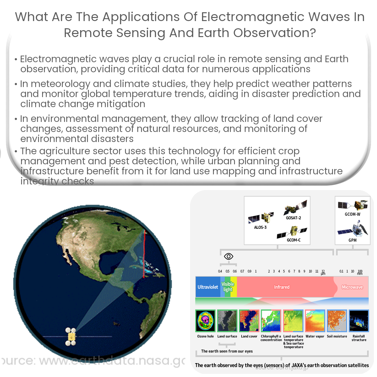
Electromagnetic waves in remote sensing are used for meteorology, environmental monitoring, agriculture, forestry, and urban planning.
Applications of Electromagnetic Waves in Remote Sensing and Earth Observation
Electromagnetic waves have transformed our understanding of the Earth and its processes, providing crucial data for various applications. Remote sensing, a technique that employs electromagnetic waves to collect information about an object or phenomenon without direct contact, has revolutionized Earth observation. This article will explore the main applications of electromagnetic waves in remote sensing and Earth observation.
1. Meteorology and Climate Studies
- Weather forecasting relies heavily on remote sensing technologies that use electromagnetic waves, such as satellites equipped with sensors that measure temperature, humidity, and cloud cover. These data help meteorologists predict weather patterns and potential disasters.
- Climate studies also benefit from remote sensing techniques, with satellites monitoring ice caps, sea levels, and global temperature trends. This information is vital for understanding the impacts of climate change and developing mitigation strategies.
2. Environmental Monitoring and Management
-
1st
- Electromagnetic waves enable the monitoring of land cover changes, such as deforestation and desertification, and the assessment of natural resources, such as water and soil quality. This information helps in the development of sustainable land management practices and policies.
- Remote sensing is also employed in the detection and monitoring of environmental disasters, like wildfires, oil spills, and volcanic eruptions. This aids in rapid response and mitigation efforts, reducing the negative impacts on ecosystems and human life.
2nd
3. Agriculture and Forestry
- Remote sensing technologies provide valuable data on soil moisture, crop health, and yield predictions, allowing for more efficient and sustainable agricultural practices. Electromagnetic waves can also detect and monitor pests and diseases, facilitating targeted interventions.
- In forestry, remote sensing is used to assess forest health, detect illegal logging, and monitor reforestation efforts. This information is crucial for forest management and conservation initiatives.
4. Urban Planning and Infrastructure
-
1st
- Remote sensing data is invaluable for urban planners, who use it to map land use, monitor population growth, and assess infrastructure needs. This information helps guide sustainable urban development and reduce negative environmental impacts.
- Electromagnetic waves are also used to inspect and monitor critical infrastructure, such as bridges, dams, and pipelines, ensuring their safety and integrity.
2nd
In conclusion, the applications of electromagnetic waves in remote sensing and Earth observation are vast and varied, providing essential data for a wide range of fields. From weather forecasting to urban planning, these technologies continue to advance our understanding of the Earth and its processes, ultimately contributing to a more sustainable future.