Electromagnetic waves facilitate data transfer in satellite communication and enable positioning in navigation systems like GPS, GLONASS, and Galileo.
Electromagnetic Waves in Satellite Communication and Navigation Systems
Electromagnetic waves play a crucial role in satellite communication and navigation systems, enabling data transfer over vast distances and facilitating various applications. This article delves into how these waves function in satellite systems and their significance in modern-day technology.
Satellite Communication Systems
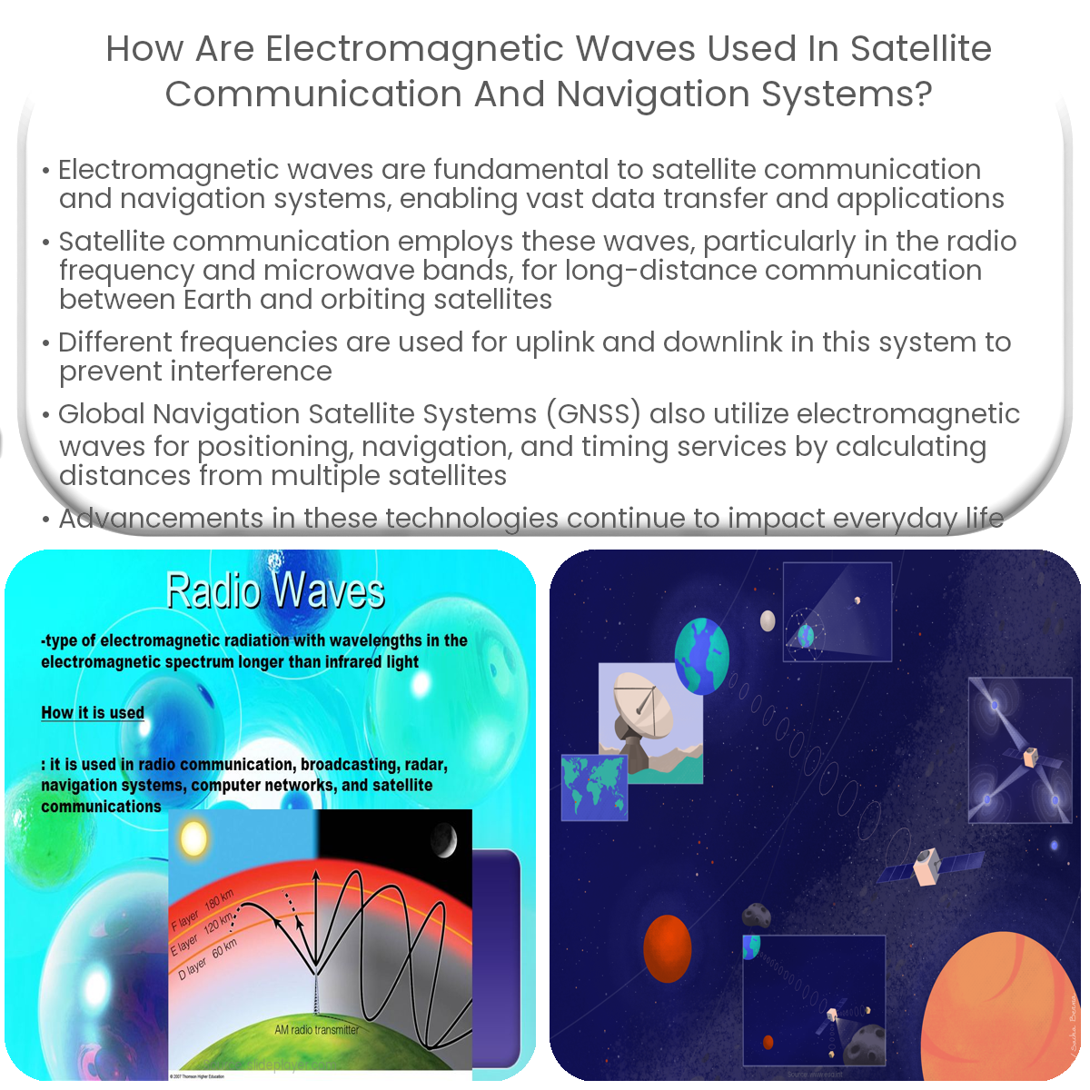
Satellite communication systems employ electromagnetic waves to transmit and receive information between Earth stations and orbiting satellites. These waves, particularly in the radio frequency (RF) and microwave bands, facilitate communication across long distances and through various atmospheric conditions. The choice of frequency depends on factors such as bandwidth requirements, atmospheric attenuation, and regulatory constraints.
- Uplink and Downlink: In a satellite communication system, information is sent from an Earth station to the satellite via an ‘uplink’ and then relayed back to another Earth station using a ‘downlink’. Different frequencies are used for uplink and downlink to avoid interference.
- Geostationary Satellites: Geostationary satellites, positioned at an altitude of 35,786 kilometers, maintain a fixed position relative to Earth, allowing for constant communication coverage over a particular region.
- Low Earth Orbit (LEO) Satellites: LEO satellites orbit at lower altitudes, enabling reduced signal latency and improved data transfer rates, making them suitable for internet services and other high-bandwidth applications.
Navigation Systems
Global Navigation Satellite Systems (GNSS), such as GPS, GLONASS, and Galileo, use electromagnetic waves to provide positioning, navigation, and timing (PNT) services. These systems consist of a network of satellites, ground control stations, and user receivers.
- Transmitting Signals: Navigation satellites transmit signals containing information about their position and the current time, using specific frequencies in the microwave band.
- Signal Reception: GNSS receivers pick up signals from multiple satellites, using the time difference between signal transmission and reception to determine the distance to each satellite.
- Triangulation: By calculating the distances to at least four satellites, the receiver can determine its precise position on Earth, a process known as trilateration.
In conclusion, electromagnetic waves are essential in satellite communication and navigation systems, providing the means for information transfer and positioning services. Advancements in these technologies continue to revolutionize various aspects of our daily lives, from communication to transportation and beyond.